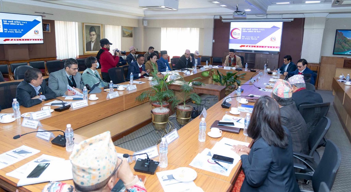
KATHMANDU: An expert panel formed by the government to gather historical evidences that support its claim that Kalapani, Lipu Lekh and Limpiyadhura currently held by Indian side originally belong to Nepal submitted its report to Minister for Foreign Affairs, Pradeep Kumar Gyawali on Sunday.
The committee has given a number of evidences that substantiate Nepal’s long-held position that the land east of the Kali, which originates in Limpiyadhura, falls within the Nepali territories.
Bishnu Raj Uprety, the panel’s coordinator and executive director of Policy Research Institute, a government-supported think tank, confirmed that they submitted the report to Minister Gyawali on Sunday evening. He declined to divulge any further details of the report saying that the code of conduct does not allow him to speak about the report.
Uprety said that the nine-member panel has collected all relevant historical evidence that support the government’s claim that Kalapani, Lipu Lekh and Limpiyadhura are Nepali territories.
The expert panel has handed over a number of historical documents to Foreign Minister Gyawali so that the government can furnish concrete evidence to the Indian side when the two sides sit for talks to settle the decades-long border dispute in the Kalapani region.
The panel has presented various suggestions to the government after conducting a thorough study from the historical, legal, cartographic and hydrological perspectives on the long-standing border disputes with India.
Talking to Republica, Foreign Minister Gyawali said that the panel submitted the report a rigorous study on the issue.
He said that in the report, the Treaty of Sugauli (1816) between Nepal and the East India Company has been considered the main basis for the demarcation of Nepal’s boundary with India. “The objective of the committee was to prepare Nepal’s position paper in boundary negotiations and they have done this job well,” he said, adding that the report has further reinforced the government’s stance on the border issue with India.
Nepal has already issued a new administrative and political map incorporating Kalapani, Limpiyadhura and Lipu Lekh.
However, the foreign minister said that holding bilateral talks with India and Nepal’s internal homework for the same are two different issues. “The report submitted by the study panel is for the internal purpose,” Gyawali said.
He also refrained from making comments on the content of the report saying that he has yet to go through it. “I received the report only yesterday evening,” he said.
On the prospect of holding talks with India on the border issue any time soon, Foreign Minister Gyawali said the Nepal government is ready to hold talks with the Indian side anytime. “Recent interactions with India at political and diplomatic levels have created a good atmosphere for holding talks on border issues. I believe that the talks will take place soon,” the foreign minister added.
In course of its study, the panel interviewed eminent personalities from various fields including historians, former government officials, diplomats, heads of security agencies, bureaucrats, politicians, and journalists.
Surya Prasad Subedi, a professor of law at the University of Leeds in the United Kingdom; Ramesh Dhungel, historian; Bipin Adhikari, senior advocate; Jagat Bhusal, water resources expert; Toyanath Baral, former director general at the Department of Survey; Himalaya Thapa, former Nepal Army senior official, and Apsara Chapagain, a community forestry activist were members of the panel. Ram Prasad Subedi, joint secretary at the Ministry of Foreign Affairs, was the member-secretary of the expert panel.
The Nepal governmenton May 20 released therevised political and administrative map of Nepal that incorporates Limpiyadhura, Lipu Lekh and Kalapani, the territories encroached upon by India.The map was unanimously endorsed by the House of Representative (HoR) on June 13.
The new map has retrieved 335 sq km of encroached land. Gunji, Nabhi and Kuti villages have been included within the Nepali border. The present map in practice, issued in 2032BS, does not have the 335 sq km of the Limpiyadhura region.
The government was under pressure to issue the new map by incorporating the territories encroached upon by India sincethe southern neighbor unveiled its new map placing Nepali territory of Kalapani inside the Indian borders.
The Indian home ministry released the political map placing the Nepali territory of Kalapani inside the Indian borders after creating Jammu and Kashmir and Ladakh as its union territories.
According to the Department of Survey, the map of a country is prepared in two different ways – administrative map and boundary map. Boundary map is prepared after the administrative one is finalized, for which technicians have to make a field visit.The one endorsed is the administrative map.